Key Largo, Florida to Bimini, Bahamas
In boater lingo, a crossing is when a vessel moves from either side of the Atlantic or Pacific Ocean. This was our first ‘crossing’ cruising from Key Largo, Florida to Bimini, Alice Town, Bahamas. It is also the first time Three Sons has been outside of the USA. Planning for this trip was a bit overwhelming, we did tons of research, figuring out where to leave from, how long the trip will take, what course to steer and what weather conditions are best. In trying to understand and finding the perfect weather widow to make the crossing we became mini (super mini) meteorologists.
Even with perfect weather conditions, this route is still a bit of a challenge because you need to cross the The Gulf Stream. The Gulf Stream is literally a river of water in the Atlantic Ocean that runs north between Florida and the Bahamas. Since the current in the Gulf Stream typically averages between 2 and 4 knots, when you travel east, you also move north.
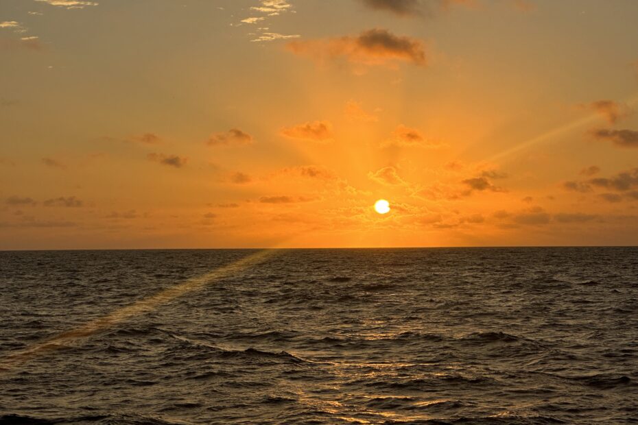
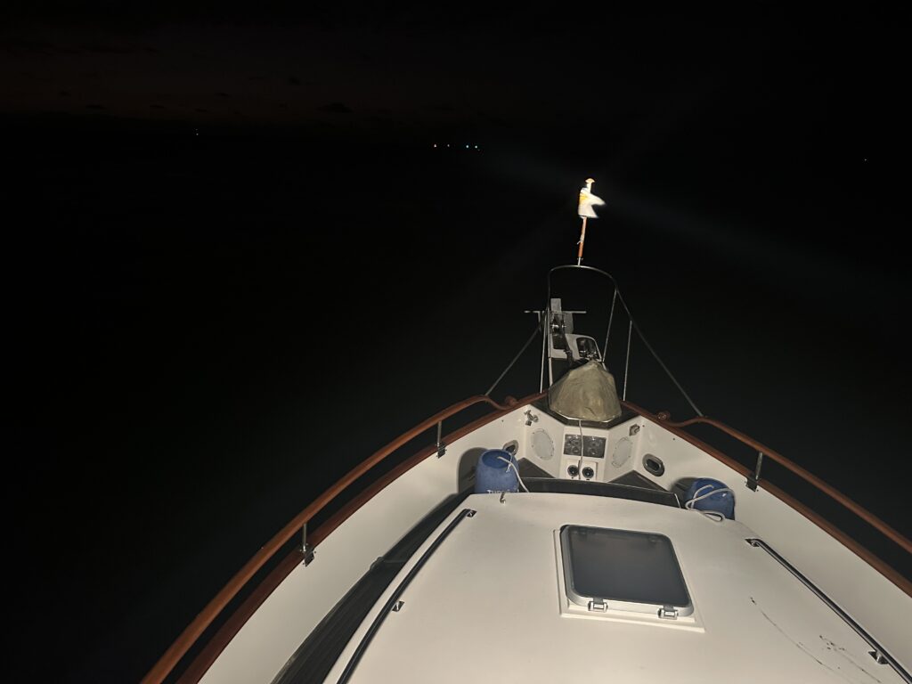
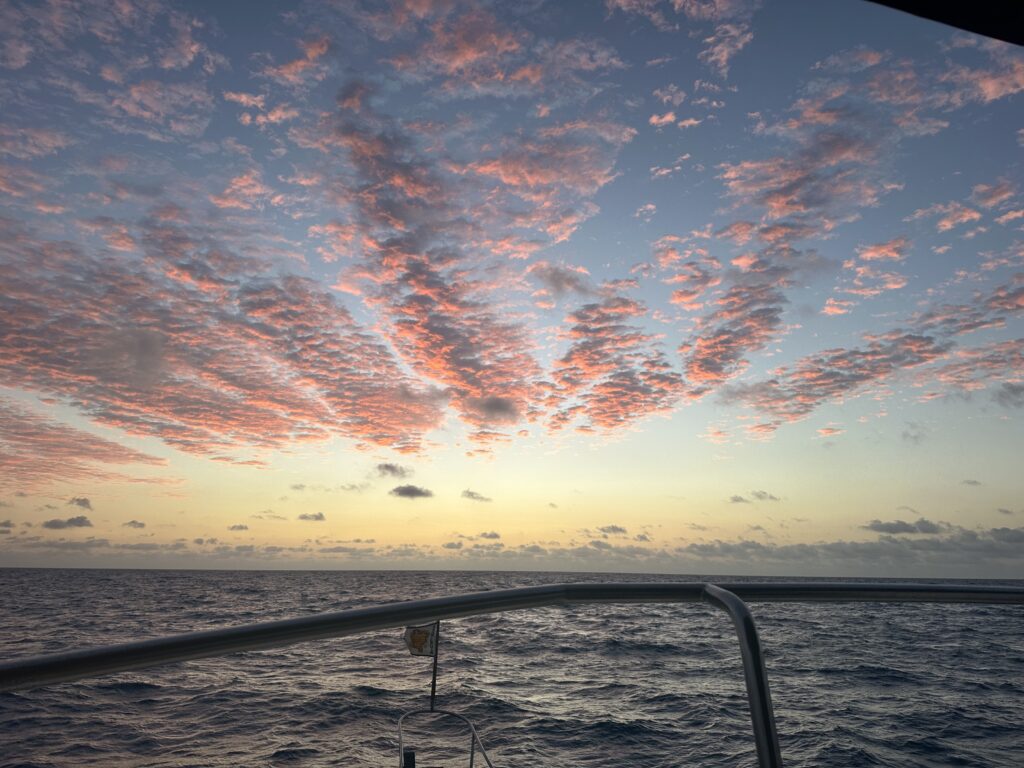
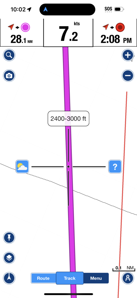
Having watched the weather for weeks and reading as much as possible about the Gulf Stream, we saw our weather window on Tuesday, January 16th. Since another safety feature is numbers, we put a post up, on a cruiser Facebook group, looking for someone else making a crossing from the lower Keys. MV Willie Dawes, Kathy and Dan, answered our post. We staged for our crossing outside of Angelfish Creek anchoring at Ocean Reef. Kathy and Dan also anchored in that area and they dinghied over so we could meet and chat about our route. At 6 AM, we lifted the anchored in total darkness, cruised through the creek out of an extremely tight channel and into the Atlantic Ocean. We reached the Gulf Stream in about 90 minutes and unfortunately, never got the big push we were hoping for. The weather was as promised, no surprises, but certainly a little more lumpy than expected. A few times we rolled way more than Tracy’s liking and a few bad words were shouted. However, overall a great trip, the sun was shining brightly, the water was getting bluer and the flying fish were quite entertaining. Losing sight of land is something that rarely happens on Three Sons, It’s pretty amazing (and a little scary) once the shoreline of Florida fades away. We did put our new Starlink satellite internet to the test though, and had perfect connectivity throughout the trip – quite re-assuring since our VHF fades away after 15-20 miles from shore and not a whole lot of boat traffic nearby.
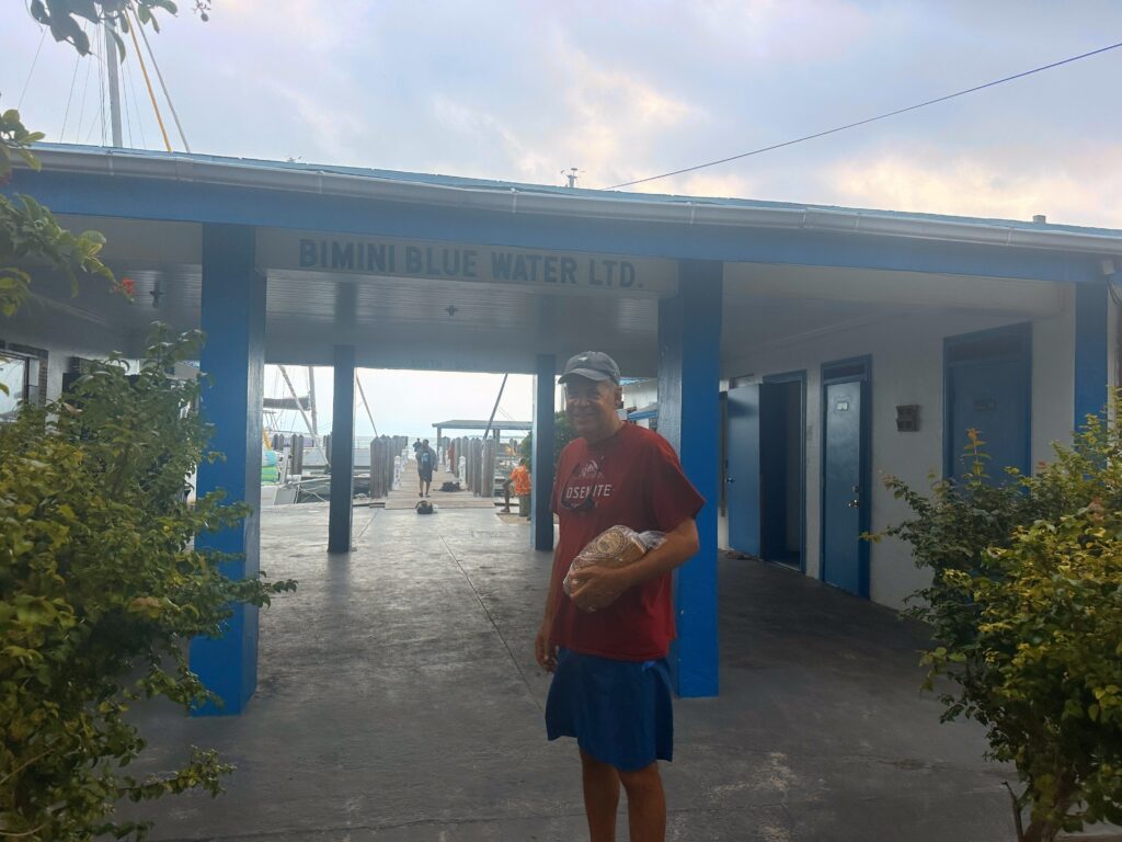
At 2:00 we entered the entrance of the channel of west side of Bimini. Navigating into the channel and up to the Bimini Blue Water Marina Bimini was one of the most tricky we have encountered. Three Sons managed the swirling waters, high current, missing buoys, conflicting charts to real life just fine but with baited breath. An added hurdle, is communicating on the radio via Bahamian English; but our buddy boat was impressed with our ability to receive and understand messages. A huge sense of accomplishment was felt once the first line was tossed to the deck hand.

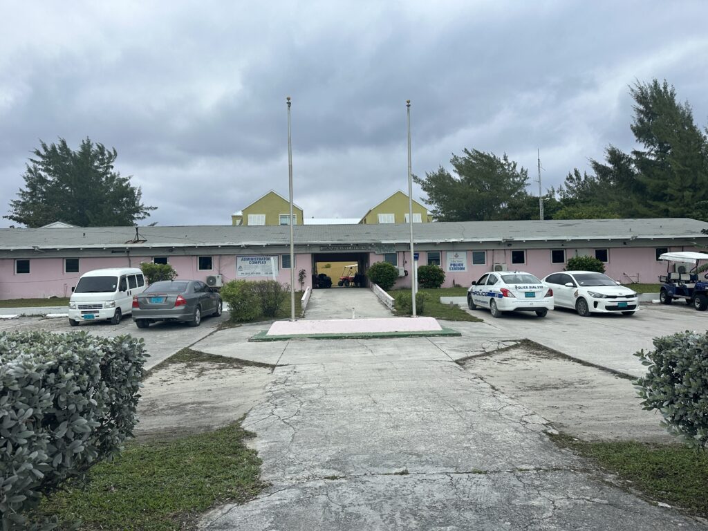
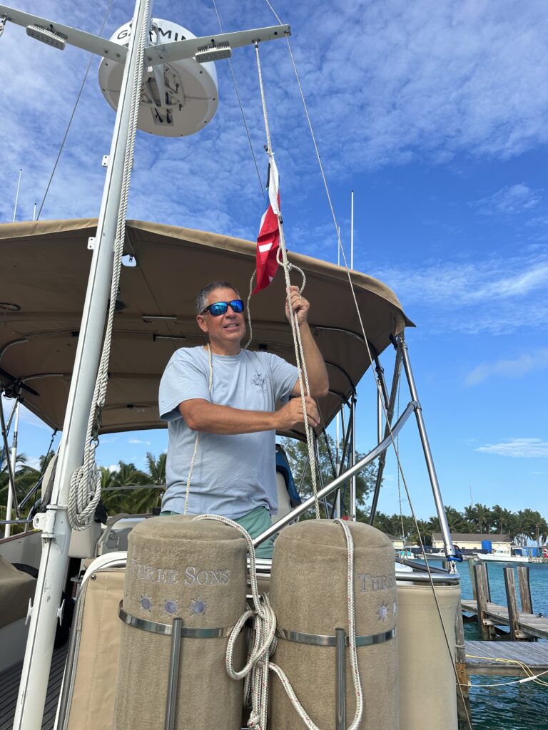
Prior to arriving in the Bahamas we completed all the immigration and customs paperwork online using Click to Clear. Once the boat was secured to the dock, one person, the Captain, walks up the street to the ‘pink building’ to check in. We had all our papers in order and the online submission made this process easy and quick. Bob returned to the boat and we hoisted the Bahamian curtesy flag. We ended our day with dinner at the marina up the road, Big Game Club Resort, with Willie Dawes.
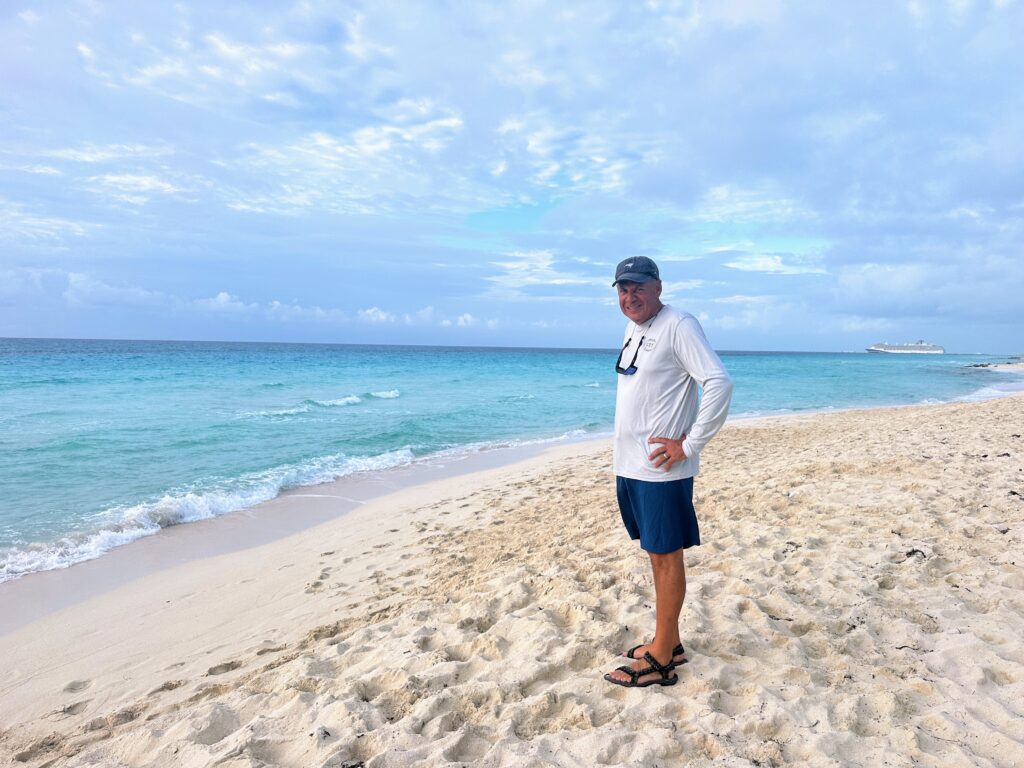
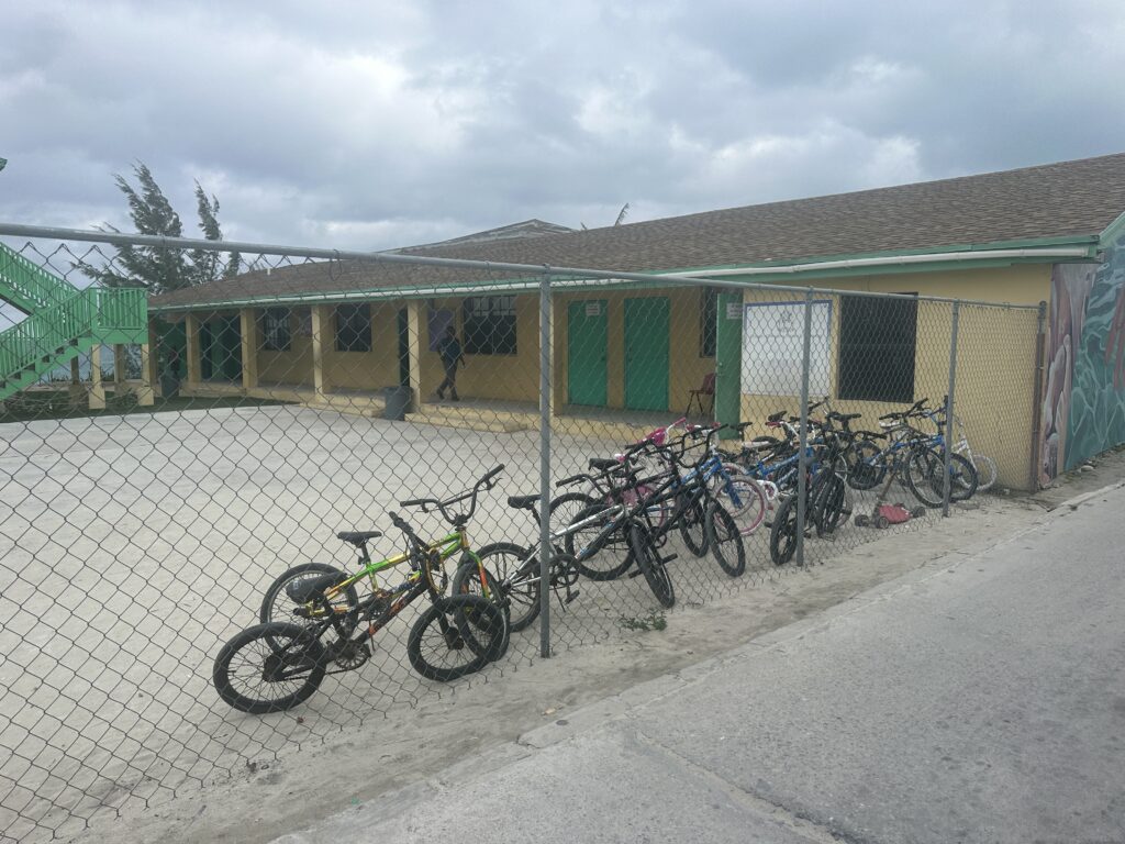
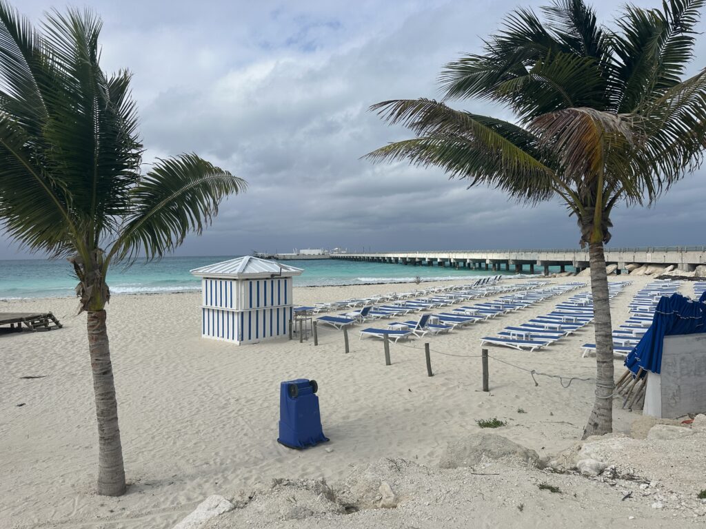
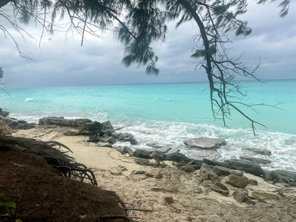
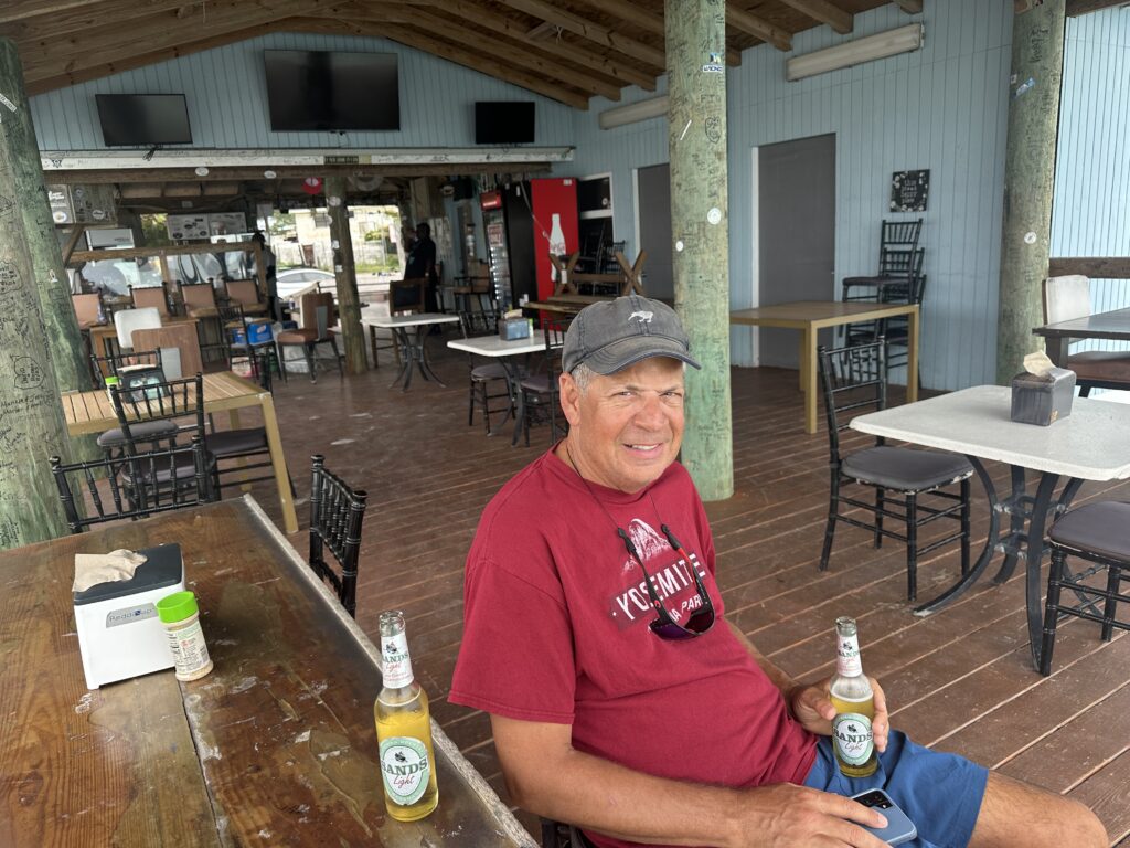
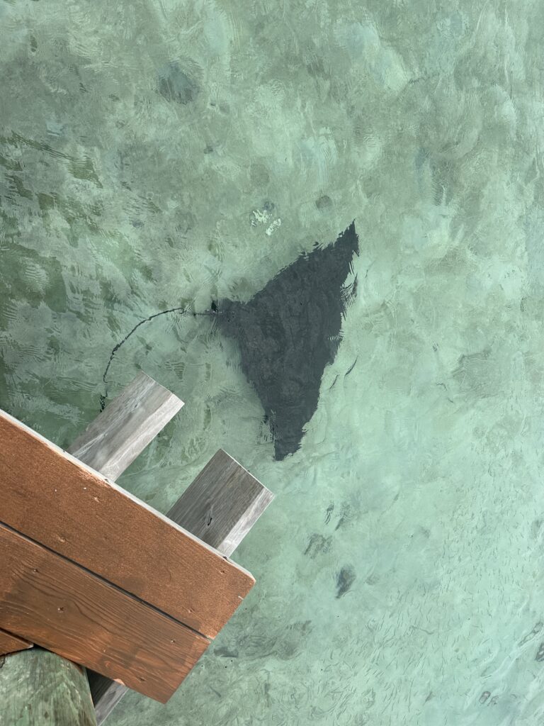
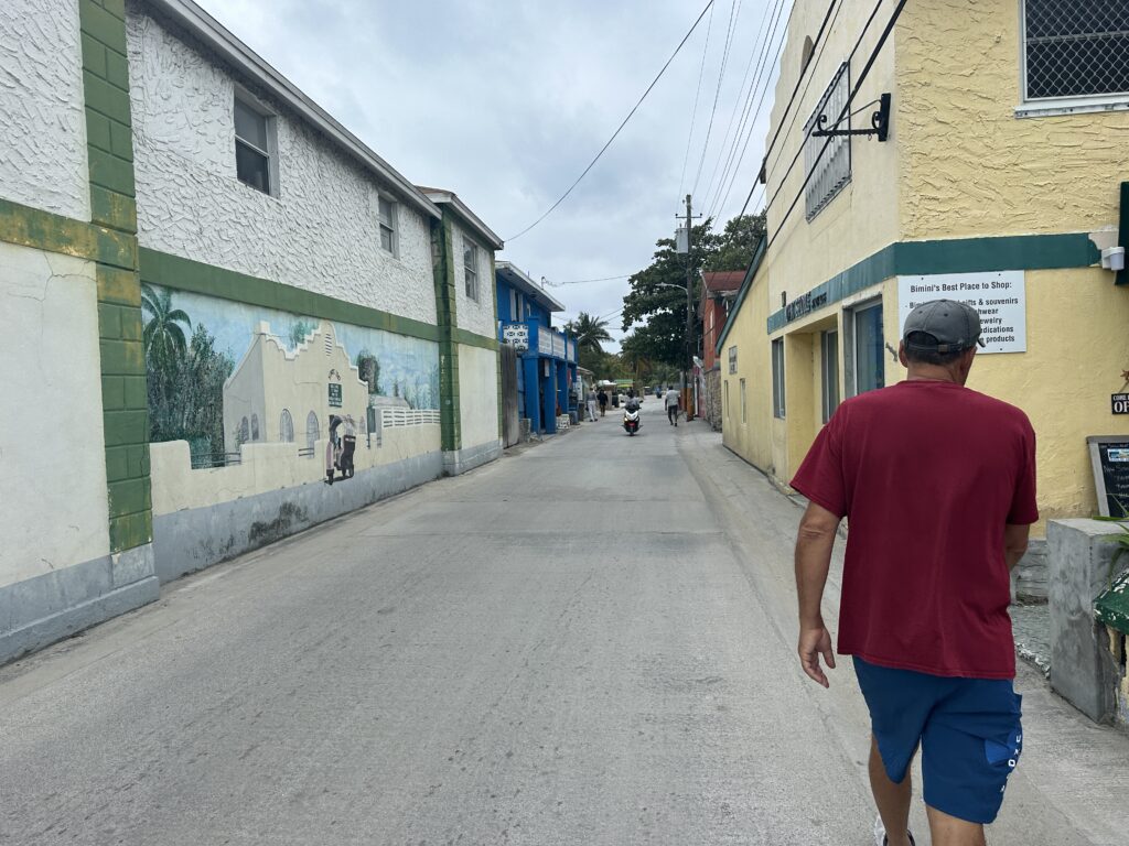
Bimini is made up of two islands, North, South and is the closest Bahamian island to the mainland US. We visited North Bimini which is about 7 miles long and 700 ft wide. The populations is just over 2,000, some of the friendliest folks. Everyone we pass greets us, waves and offers a smile. The island is very laid back and relaxed. The King’s Highway is the one main road and runs north and south, ending in Alice Town, with a collection of roadside restaurants and bars. Each one of these establishments are housed in single story bright colored cement buildings with primitive window and doors. We enjoyed the beauty of Radio Beach, fresh bread from Nate’s, exploring and experiencing the culture of the island.

Bimini is not just small, but a remote island from the other Bahama Islands. Nassau is 209 NM to the west. Our next stop we will head east to closest island from Bimini, Great Island Cay, which is 85 Nautical Miles away. Three Sons is not a fast boat so this means 12 hours our travel. Since we see no need to travel in the dark, we will drop anchor in the Bahama Bank for the evening.
Segment Stats
- Pilot House, Key Largo, FL to Angel Fish Creek Anchorage, FL
- Monday, January 15, 2024
- Cruising Time: 3 hours 13 minutes
- 21.8 Nautical Miles
- Key Largo – Angel Fish Creek Anchorage, FL to Bimini Bahamas
- Tuesday, January 16, 2024
- 60.4 Nautical Miles
- Cruising Time: 8 hours 4 minutes
- Bimini Blue Water Marina